Saturday, August 24, 2019

Cinnamon pass 12,640ft

Wow, I believe that was the most spectacular day I have ever had on a bike. The scenery was uterrly spectacular and the first hand view of the power of nature was truly awe inspiring. We started our day from Williams creek campground on the alpine scenic loop and climb slightly but steadily through the valley passing the first of many avalanche destruction zones. The camp host tells us that one of the avalanches took out the sheriffs home and barn but we saw no evidence left of the home or barn. We enjoy a leisurely morning until the OHV traffic starts in earnest and we are bathed in a nearly constant cloud of dust. Dispite the busy traffic the road is amazing, a steep cliff on one side and a sheer drop off on the other. Eventually the valley narrows and the road takes a turn upwards, for the next 10kms the road keeps a steady 6-8%grade before getting properly steep for the last 5km. Each turn in the road brings a fresh view and more climbing as we snake our way between 14,000ft peaks. Some time after 2pm we summit the 12,640ft cinnamon pass to the cheers of the Jeep drivers and park staff. We spend a little while basking in our success then start the steep and bone shaking decent to animias forks ghost town. The town once housed over 500 but was short lived and within 30years of its inception is abandoned for easier living and mining further down the valley. A dozen structures still remain including a out of place looking victorian style home with big bay windows. The buildings are all in rough shape and quite obviously occupied by rodents of some variety but absolutely fascinating to walk through and imagine their past and the struggles of their inhabitants. 


We are delayed by some necessary road clearing but eventually just hike around it and enjoy a little break from the traffic.


The power of the avalanches is amazing, giant fir trees snapped like twigs or torn out by their roots, giant boulders strewn like pebbles. We are told by locals that they had 200% more snow than usual and that there were several hundred slides this past winter.


Wednesday, August 21, 2019

Gained and lost elevation

Since our campsite may not have been completely legal we wake early and pack up before 8, despite going to bed for 9pm it still feels early. The morning is a pleasant enough 2000ft climb through canyons then up to slumgullion slide and campground where we meet Hwy 149. The actual route climbs another 1000ft then joins back up with the trail, we are running very thin on supplies so have to give up the elevation we fought so hard for to decend down into lake city. The decent is stunning with endless views of the san Jaun range and a bonus moose sighting. A few kms out of town peters rear tyre explodes leaving sealant all over the road and his bike, a half hour and two tubes later we are back on the road on our way to second breakfast. Sadly we miss the cut off for breakfast but lunch at Melty’s is fantastic and the coffee of decent too.  Best thing about the cafe is the fast wifi which we take advantage of and loiter a full 2 hrs booking hotels, calling home and getting internet things done. After lunch we amble around the adorable little town window shopping before its an appropriate time to have lunch and beer... except we skip lunch and just have local Colorado beer. A few beer in we vote on a plan. A involves a 5000ft climb back out of town then up onto section 22 of the Colorado trail. This plan is quickly vetoed when we read bike packer reviews of section 22 and 23 which describe it as very pushy. Plan B is to take the back road route over cinnamon pass at a bit over 12,000 ft. Still a substantial climb only with a lot less (hopefully none) pushing. We are told it’s a spectacular route and we will get a first hand view of the power of avalanches. 
We opt for plan B and stock up on some super pricy groceries then head out for Williams creek BLM campground. It’s an enjoyable 12km ride out of town towards the pass, passing beside the second largest natural lake in Colorado (its still pretty small) then meander along the river past high bluffs, unstable looking shale slopes and adorable cabins. 
The campground is home to monster RV’s but the host is lovely and gives us a heads up that there are two bears in the area who have been getting up to no good lately. With this information we put extra effort into a good bear hang but end up having to highline the  packs because there are no suitable stand alone tress. The first attempt is a failure as the pulley rope cuts through the 2mm cord we are using. The next configuration uses two carabiners for leverage and glide and we are able to pull the packs up to relative safety.... the morning will tell how well it worked.


Monday, August 19, 2019

Hot dusty miles

In what is becoming habit we roll out of camp just before 10am, this in most part because it’s just too darn cold to get up before the sun reaches camp. When the sun does reach you it goes from cold in a puffy to hot in a t-shirt in a matter of minutes. 
Hot is a decent summary for the day in general, but that would leave out all the good bits.
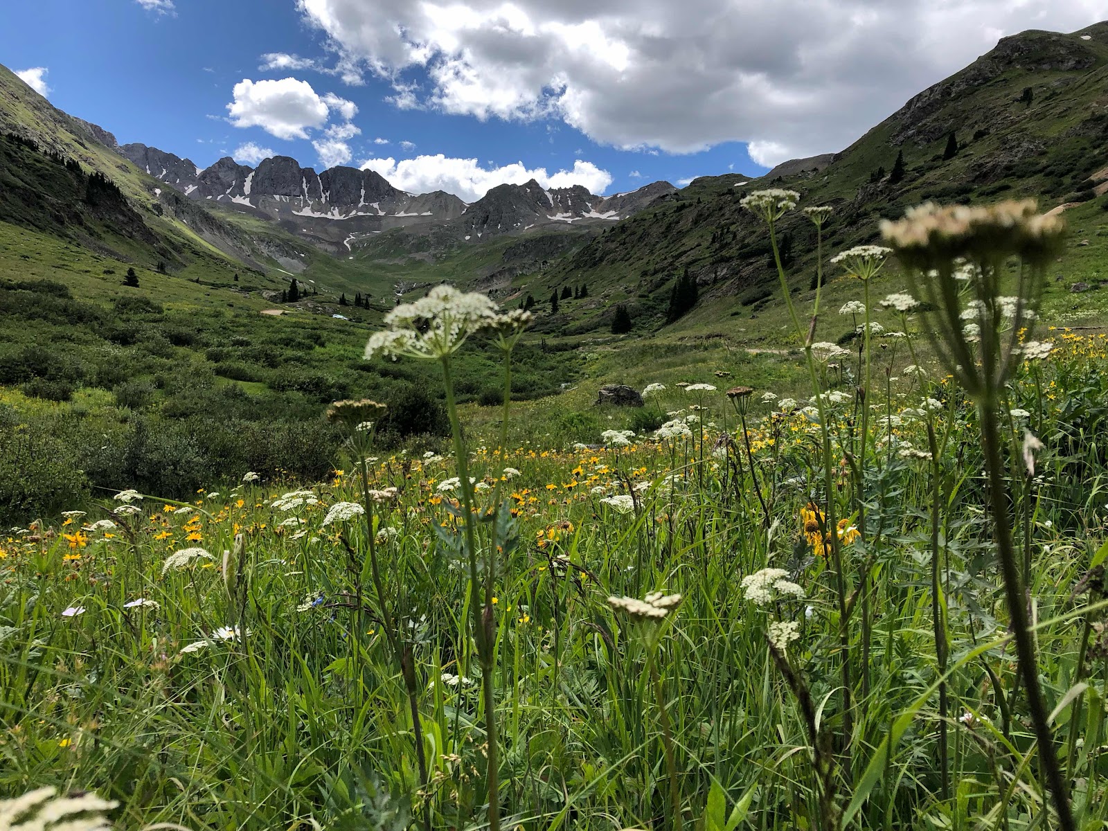
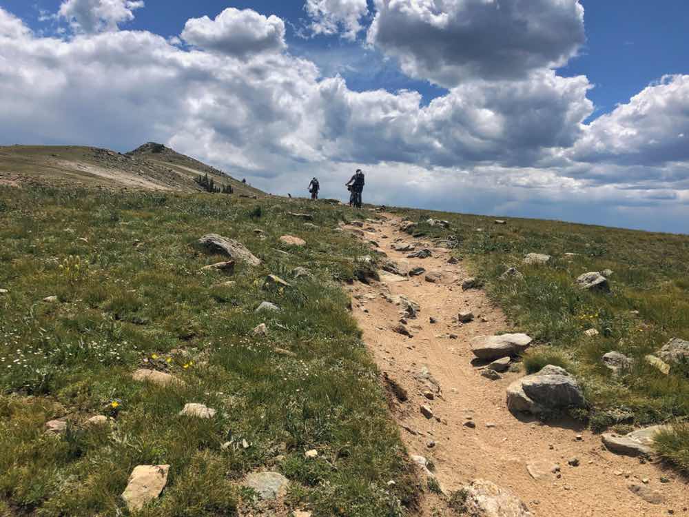
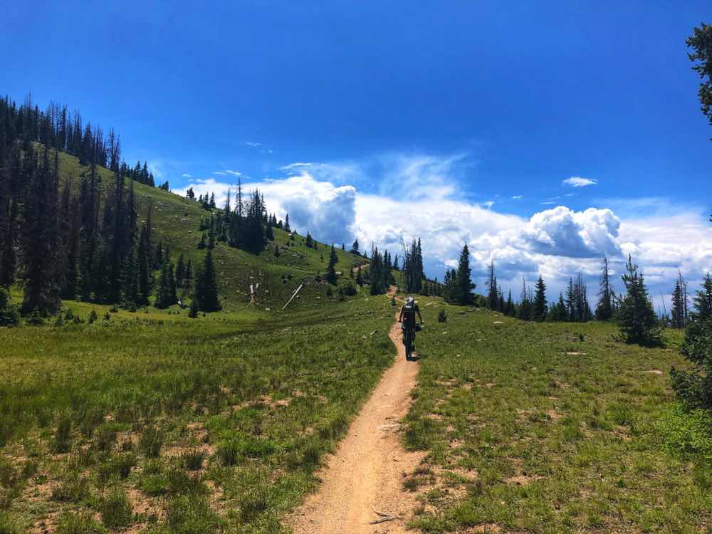
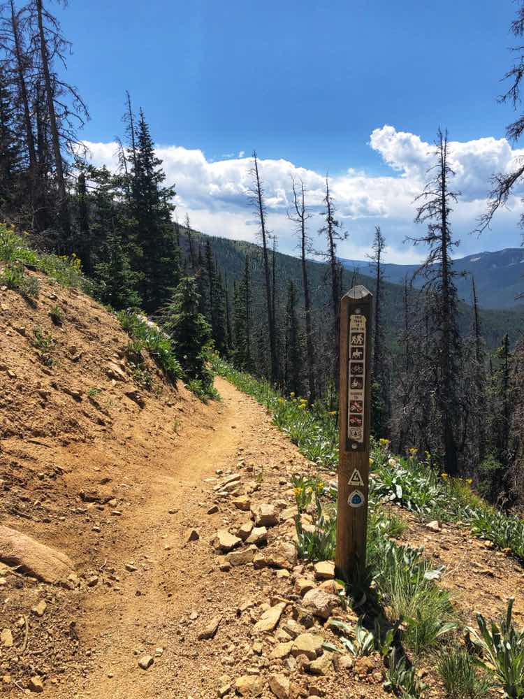
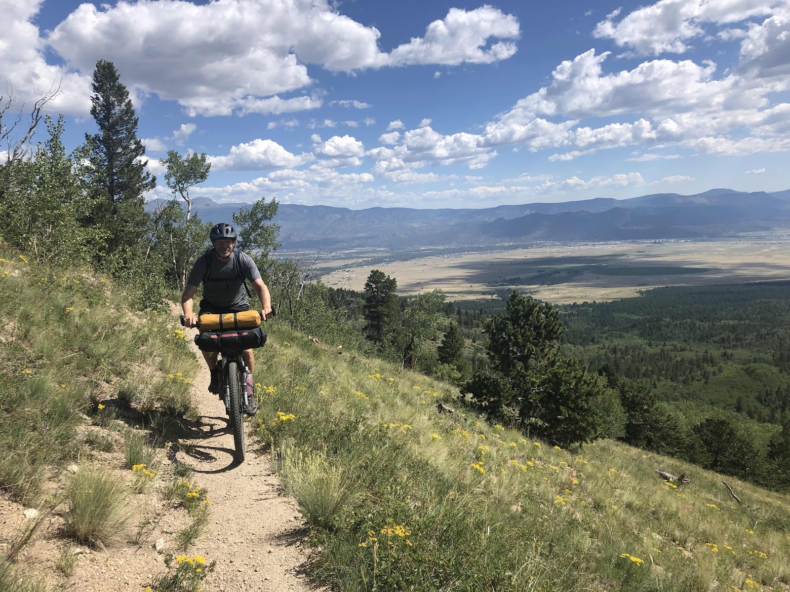
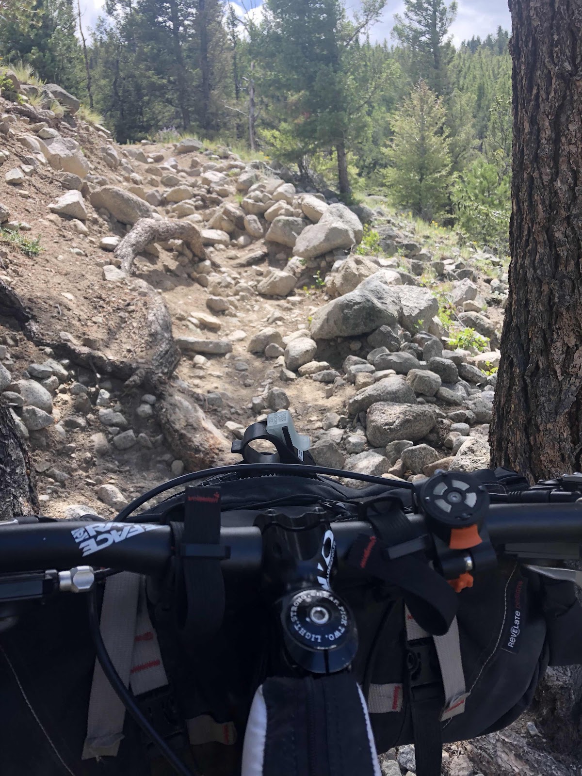
Sections 18 is a lovely little treat, the climbs are mellow, the trail rideable and you get some great views when you pop out of the trees. The second half is in a high medow full of beautiful yellow flowers and give you a spectacular view of the valley and dome lakes in the distance. The 12 miles goes by fast and we are on the ride around the wilderness section making good time to our lunch stop by the lakes. In my head they are lovely have a nice shady spot to have lunch and offer a great opportunity to have a mid day swim.  In reality they are scummy, probably toxic and have a plenitude of dead fish dotting the surface. In addition there isn’t a lick of shade. We do find a standard well pump and pump and filter water while we eat our lunch wraps baking in the sun. While we are stopped a father son combo who are riding the divide stop to get water too. While they are stopped they share that they are averaging over 100 MILES a day... the kid is 14. 
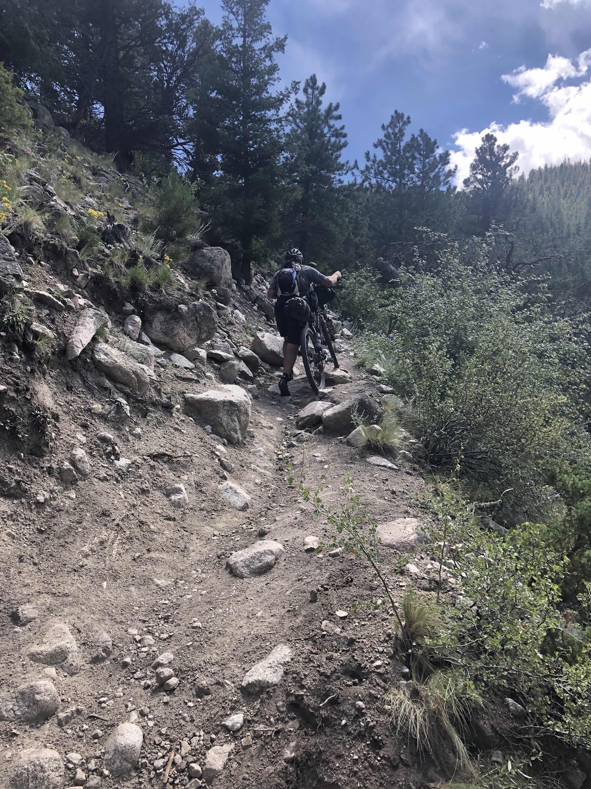
Feeling substantially less hardcore we carry on into the hot afternoon sun and ride another 25kms before we find any shade. 
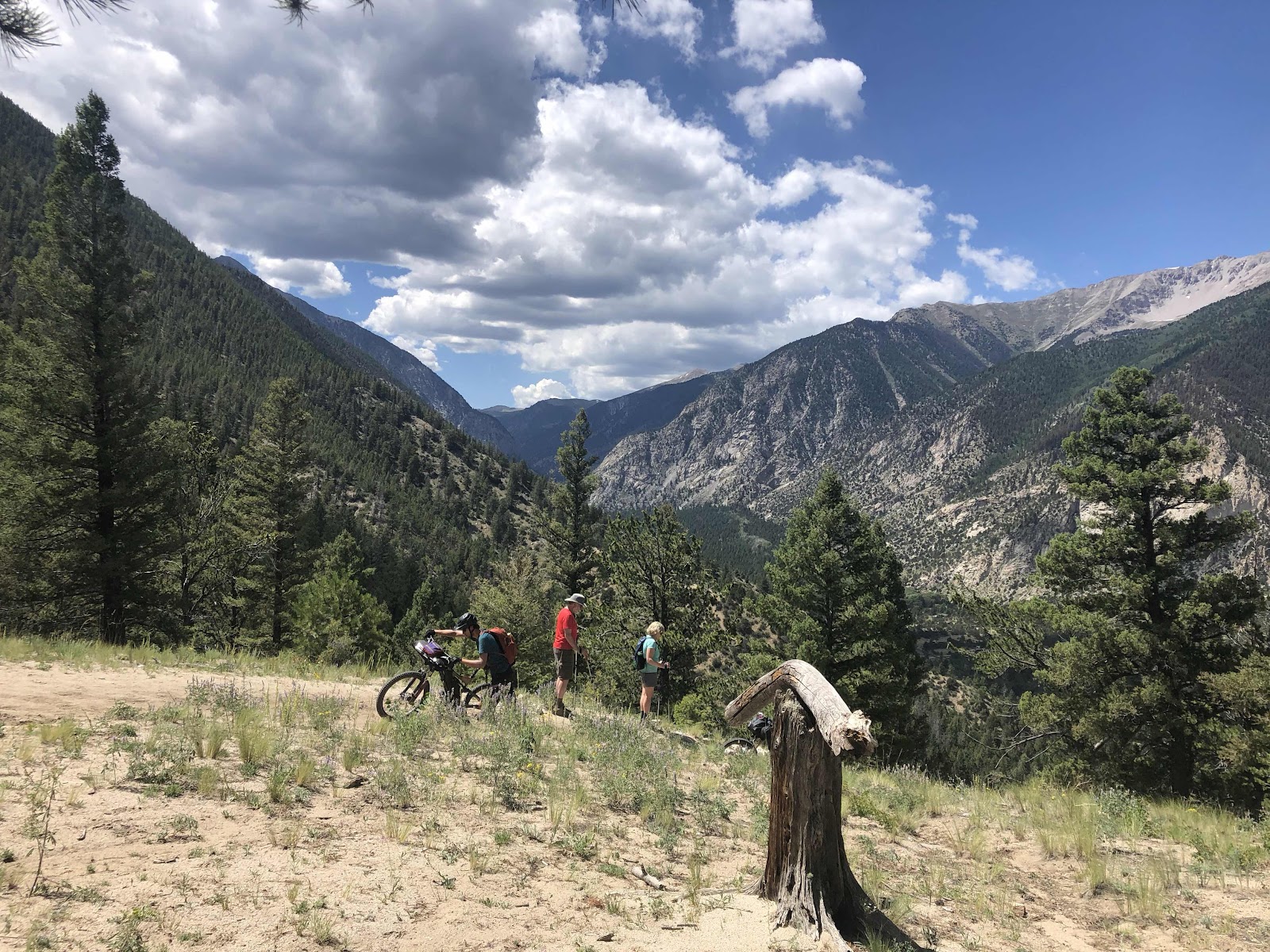
The afternoon heat drags on and we slowly make our way up and over Piñon pass and down into a verdant valley surrounded by high rock bluffs and dotted with ranches. Six kilometres of private property bring us back to national forest and we make a camp in a beautiful canyon surrounded by high rock bluffs and are lulled to sleep by the nearby stream. 


Curmudgeon

I spend most of the morning of section 16 hating motorcyclist (off road specifically) while I push my bike for hours at a time. Section 16 and 17 of the CT allow dirt bikes and it’s not for the better. The trail is steep which isn’t new, what’s new is that it is unrideable in many sections due to extream erosion. Even the flat sections are chewy, rocky and unpleasant. We avaerge less than 5kms an hour for the day and make it 40 of our intended 60kms. As a redemption for the day the last 5kms are smooth and lovely single track and we find a good ol cowboy camp, build a big fire and sit up well past dark admirering the stars.


Monarch crest trail

Just a easy ride up to monarch pass on Hwy 50 and the start of the monarch crest trail... just an easy ride. The easy ride turns out to be 15kms and 1000meters of elevation. To those of you good at math it’s a pretty nice grade, it’s a hard start to a long day regardless. 
About 11kms into the ride my left knee starts to give me grief and we are forced to stop at regular intervals to stretch out and then ultimately tape the knee. At long last we make the pass and indulge in second breakfast and coffee... Peter indulges in a second second breakfast before food becomes rationed again. 
We spend a few hours hanging out and restocking at the gift shop with the through hikers before headed out on the famous monarch crest trail. It really is as stunningly beautiful as I expected, it’s not however particularly spectacular riding. The trail starts out smooth and flows but quickly degraded to narrow and rocky which more or less makes stopping to take in the view necessary, which we do regularly because the view is very worth taking in we stop for lunch at the top of Fusas creek then follow the high ridge to where it drops into the trees at Green cabin. From there the trail more or less descends down into the trees and becomes loose rocky and unpleasant. Once you pass the turnoff to silver creek the trail becomes unrideable in the steep sections (up or down) thanks to the motorcycle riders who are apparently allowed on segment 16 and 17!


Thursday, August 15, 2019

Extra 48kms...

Since today is ment to be a short day to Monarch spur RV park on Hwy 50 we take our time packing up then tackle each pushy climb without gusto. Dispite the short 25km total it still takes us about 4 hours to reach the campground and we get in just before 3pm. During the final steep and chunky decent down to hwy 50 Peter starts to notice a horrible sound coming from his bike.... after setting up camp and sorting laundry he investigates to find that his break pads are metal on metal... 
He calls down to Salida to find a shop that will stay open for him to get there then hammers the 15 miles down hill, getting there just after 6pm. Unfortunately it’s not actually the shop he called but they are still kicking around so open up and allow his to buy breaks pads for both Steve and him. This trail is hard on breaks to say the least as both Steve and Peter started with new pads before the trip !
After an unexpected 48km trip to town peter arrives back at the campground after dark and we all enjoy some Coors banquet and mash potatoes for dinner under the romantic LED glow of headlights 😂


Matches

Every morning you start with a certain number of matches. The number you get on any given day varies depending on who you are, your fitness,how well you slept, how calorie deficit you are, ext ext . How you decide to spend those matches throughout the day is up to you. I’d say that about 95% of the Colorado trail is actually rideable... provided you are have plenty of matches to burn. 
So as we make our way along the trail each day we are constantly weighing the cost to benefit as we look at technical or steep sections. “Can I ride this” ? “How much energy will is cost ”? 
Today was a rather “pushy” day due to the technical nature of the trail, it was indeed rideable, just not if you wanted to save matches for things like setting up camp, making dinner, and hanging food because each of those activities also takes energy and all are essential to wilderness travel and survival.


That’s it, that’s all. Thanks for following along

It’s been a trip to remember for sure! 1148kms of predominantly single track and just a hair under 18,000 meters of climbing over 18 days of...